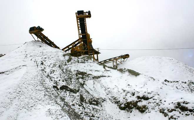
367-km Tezpur-Bum La road is the lifeline of the region, but a back-breaking one
Ajay Banerjee
Any discussion in this strategically vital north-eastern corner of India veers around to one subject — roads, or the lack of them. Railway projects hold immense importance, but still remain on the drawing board.Almost everything and anything connected with human life, military movement, tourism, dam building or laying of power lines, needs a good road and that is what is exactly missing in these parts. This is the area where China’s People’s Liberation Army rumbled down the Himalayas in 1962.A 367-km road connecting Tezpur in upper Assam to Bum La, located smack on the Line of Actual Control (LAC) with China, is literally a lifeline — connecting Tawang, Bomdilla, Dirang and Tenga. It is the only connection with ‘mainland’ India.Travelling on it is a ‘save-yourself-if you-can’ effort. Some 313 km of this road – between Bhalukpong and Bum La — runs through two districts of Arunachal Pradesh, Tawang and West Kameng, which have a collective population of 1.36 lakh spread across 10,507 square km. The existing ‘road’, or whatever name it can be called by, can be categorised under four heads: good in parts with double-laning; bad across large sections; very bad and unsafe in some sections and lastly, non-existent in areas.In late December, a ride in a four-wheel Maruti Gypsy from Tawang to Bumla – 37 km — can be a back-breaking, stomach-churning exercise across a rubble-laden track covered with mud and snow. China has black-top roads to the very top on its side. “China has added more ‘contact points’ for themselves at the LAC – this, in simple words, means more roads,” says a senior officer of the Indian Army.The ‘literal’ disconnect of Tawang and surrounding areas can be imagined considering that the nearest big commercial airport at Guwahati, which is some 500 km away, is a two-day road journey even in an SUV-type of vehicle, across three major ridgelines and the 13,700 feet-high Sela Pass. Former state Minister Naresh Glow and three-time MLA from Thrizino-Buragoan constituency says, “Road is a big issue. The BRO (Border Roads Organisation) is working, but the progress is very slow.” It’s bad for tourism as very few want to do a two-day one-way road trip to the famous Tibetan monastery at Tawang, Glow adds.An alternate road route between Tezpur and Tenga (141 km) is being built via Orang in upper Assam and is expected to be completed in March. However, the alternate road from Tenga to Tawang (190 km) is stuck up in forest clearances.The Railways have identified a line to Tawang as one of the four strategic lines. “For now, planners could do very well to get the first phase going; that is, extending the existing Guwahati-Missamari Bhalukpong broad gauge to Tenga,” said an Army officer.Tenga is located between Bhalukpong and Tawang. It is 77 km from Bhalukpong via the existing road. Located at an altitude of 6,500 feet, it poses no major hurdle for the Railways. A railhead at Tenga would allow people to travel by road to Tawang in eight or nine hours. The BRO is now upgrading the existing road to the National Highway Double Lane (NHDL) standards. A 10-km showpiece north of Tenga has been done in five years at a cost of Rs 38 crore.

